Walks
The most prominent landmark in the parish is Mullagh Hill rising 684 feet above the level of the lake at its base. On the summit of the hill there is a cairn or burial mound.
The hill and district is called Mullach Laoighill and perhaps gets its name from the chief supposedly buried there. About 1913 the Ordnance Survey engineers were working in the district and it appears they made it known that there was probably a grave or cave in this particular mound.
The grave was found open soon afterwards; apparently a search for treasure had been made. The grave when opened seemed only about 3 feet deep and measured 2 feet by 2 feet but the depth may have been greater as a quantity of clay had fallen into the pit. Nobody in the district ever seemed to find out who opened the grave or what was found therein.
The cross on Mullagh Hill looks down on the parish from the town of Mullagh to the church at Cross. It was erected to commemorate the Holy Year in 1954.
Distance: 2km Time: 30 mins Terrain: Hillside walk on good paths, but please be aware that all walks contain natural hazards; some have rugged terrain.
Grade: Moderate
Start & Finish:
Begin your walk at Mullagh lake, on the R194 Virginia road, just outside Mullagh Village. Parking is available here. Take care as you walk along the main road towards Virginia for approximately 300 metres.
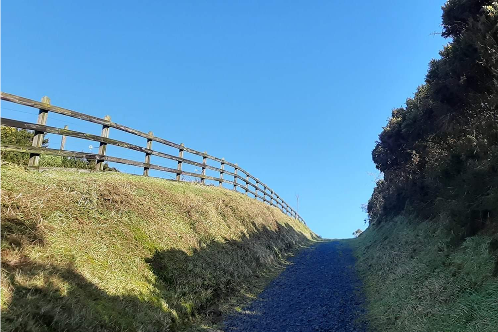
There is a sign on the right hand side pointing to a hill walk. The path is good but steep and has a beautiful viewing point three-quarter of the way up. There are several picnic benches from where there are panoramic views which extend from the Dulin & Wicklow mountains in the East to Dundalk and Mountains of Mourne in County Armagh, as well as Loughcrew in County Meath.
.

